About Us
Our Mission
As GeoIT Maps Company, we will bring a new perspective to the map and software industry with our young, knowledgeable and dynamic team. We aim to improve the production quality and reduce costs by working on research and development projects, project services, data processing, data management, geographic information systems and photogrammetry applications.
Our Vision
By following the technological developments around the world and national needs, we aim to keep our company up-to-date and to represent our country in the international market in the best way. Within this framework, we want to become by developing national software and systems a reliable and respected institution of our country.
Services
Photogrammetric Data Collection
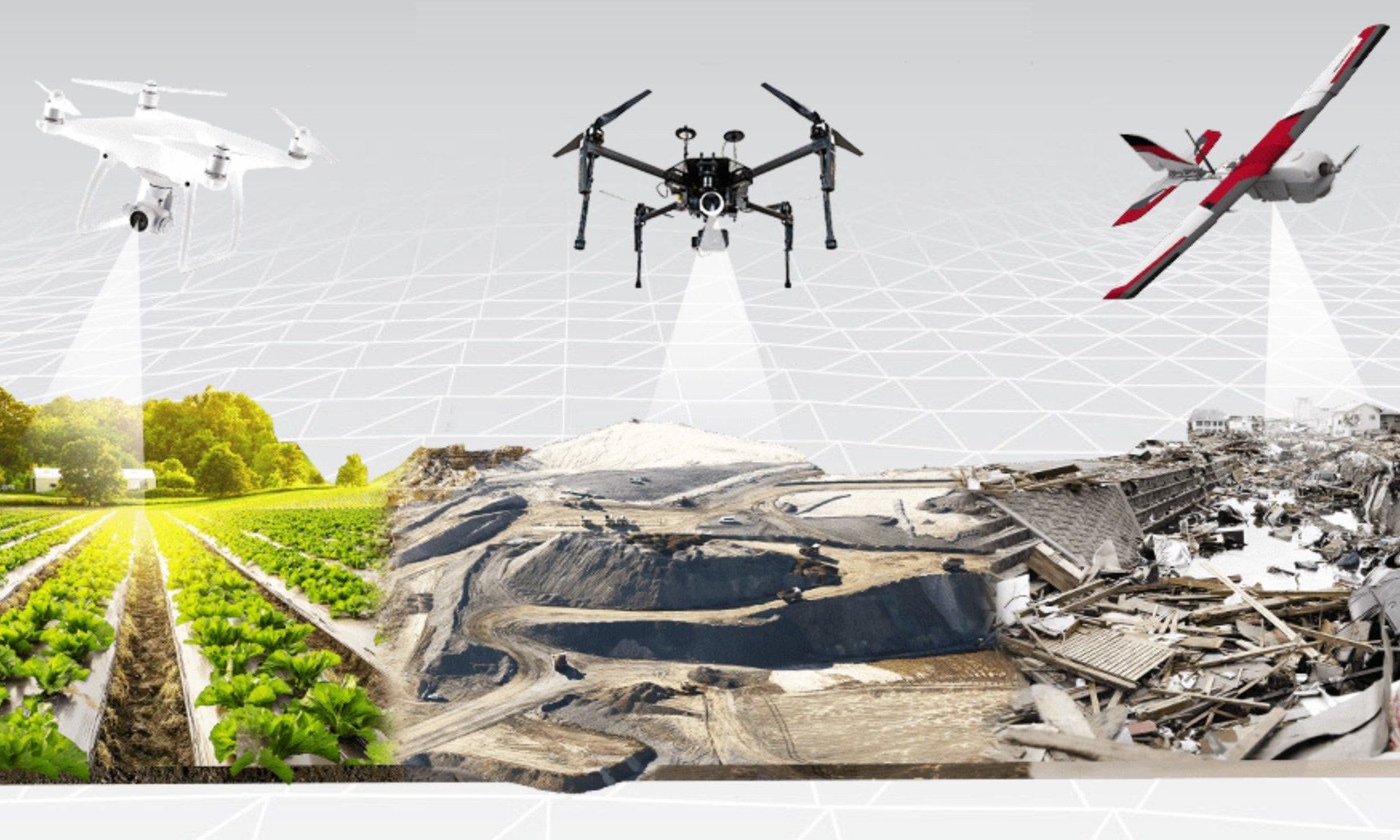
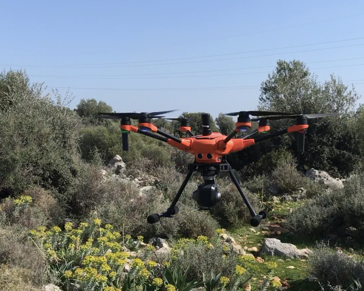
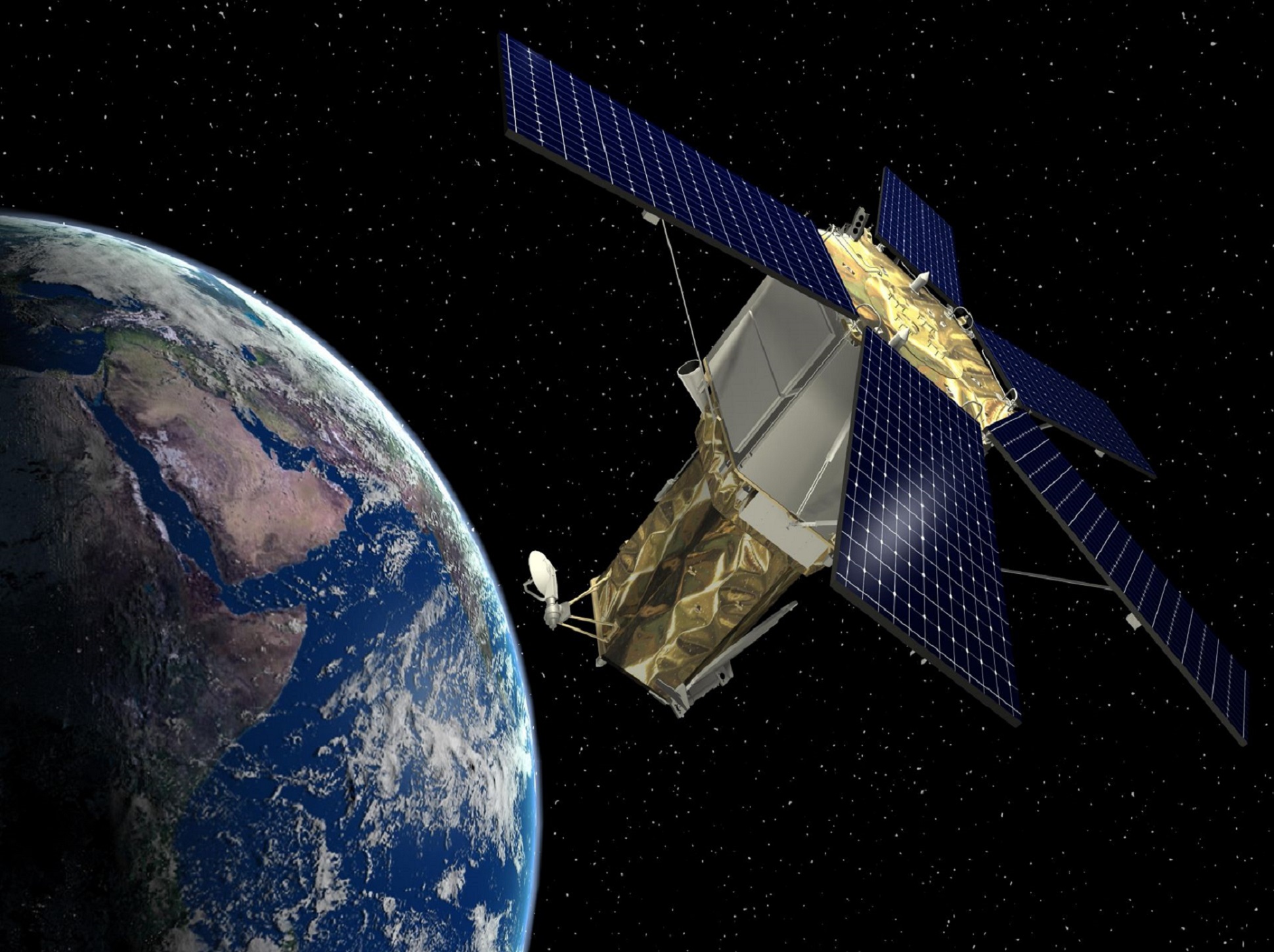
Collecting photogrammetric data is an important step, as is the processing of data. According to the size of the field, photogrammetric images are collected with the help of private planes, unmanned aerial vehicles or mobile vehicles with cameras suitable for photogrammetry.
With our UAV pilots within the company, flights are carried out for photogrammetric data production and images for the production of maps and similar products are taken.
Geospatial Information Systems
Geospatial Information Systems are whole systems of hardware, software and staff for geographic data collection, storage, processing, management, spatial analysis, query and presentation of large volumes of geographic data, which is for assisting users in location-based decision-making processes to address complex social, economic and environmental problems around the world. Geographic Information System, which is a set of data and methods, gains functionality based on the collection and classification of many map data.
By taking an active role in fluencing the future of a GIS Project, which are particularly urban planning, transportation, urbanization, geology, ecology, agricultural and energy projects constituting the basic infrastructure of various projects, our team designs and produces geographic information systems, which consists of geomatic engineers, software engineers and city planners.
Photogrammetric Data Processing
Photogrammetry, which is a science that creates and analyzes information about physical bodies and their surroundings as a result of recording, measurement and interpretation of photographic images, is the process of obtaining the geometric parameters of distant objects with the help of photographs. The resulting images are processed into useful, usable information.
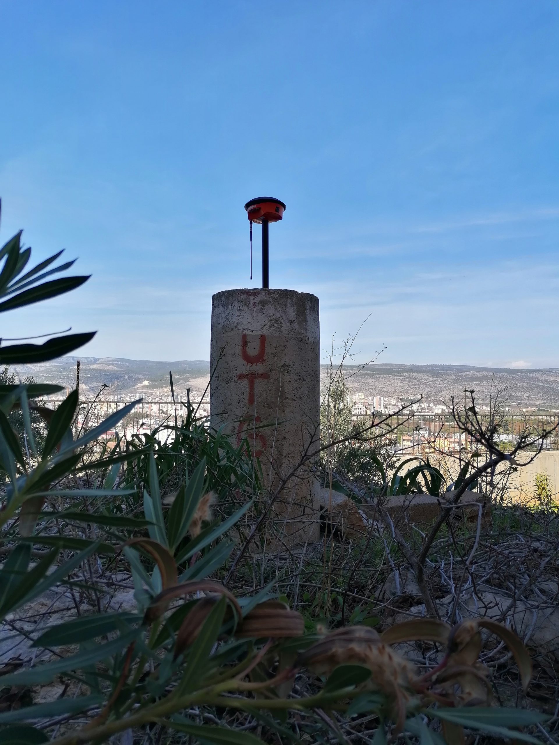
With our experienced team and high-tech equipment, we are able to compensate for the photographs and process high-quality photogrammetric data and obtain good quality result data.
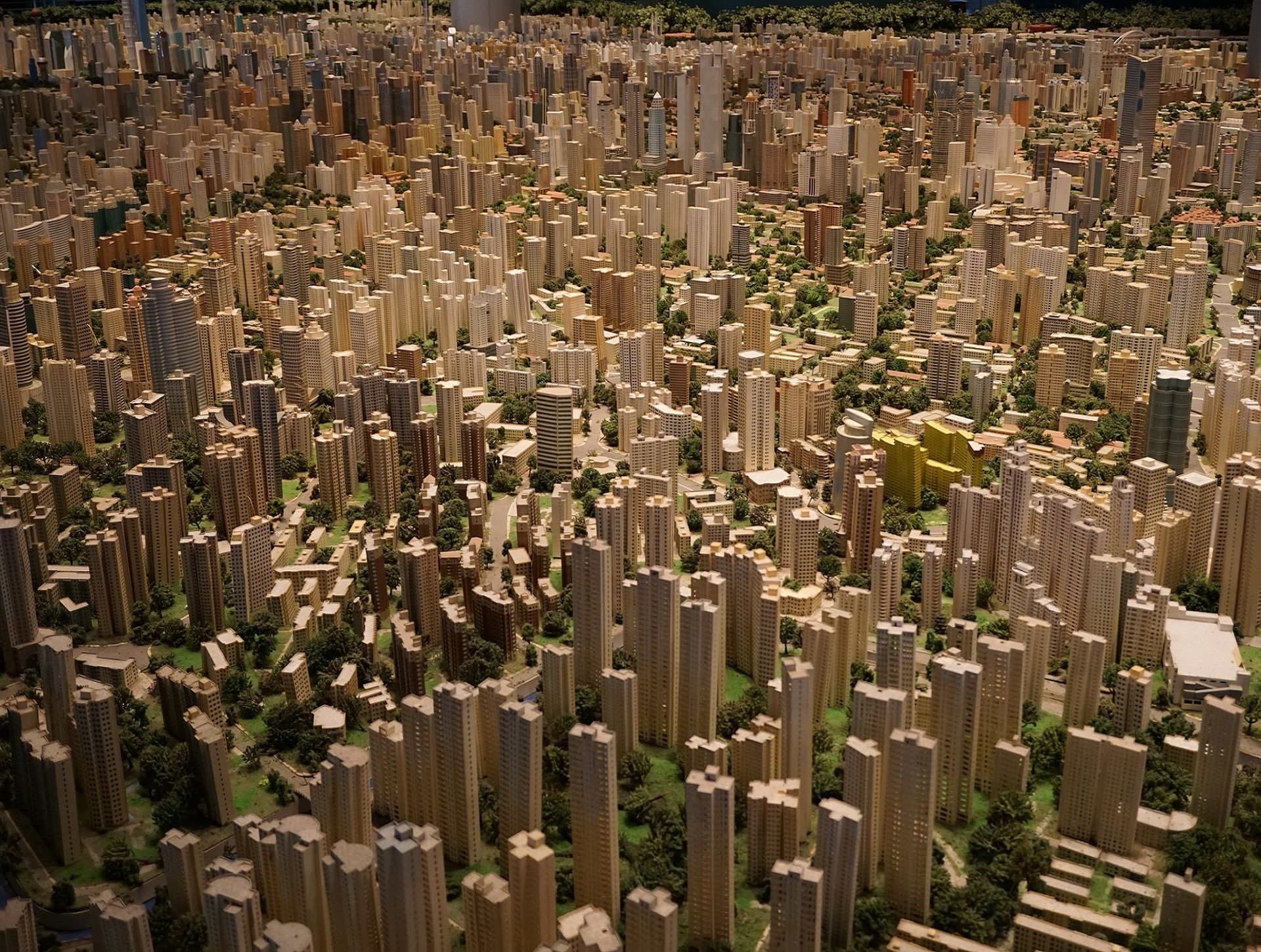
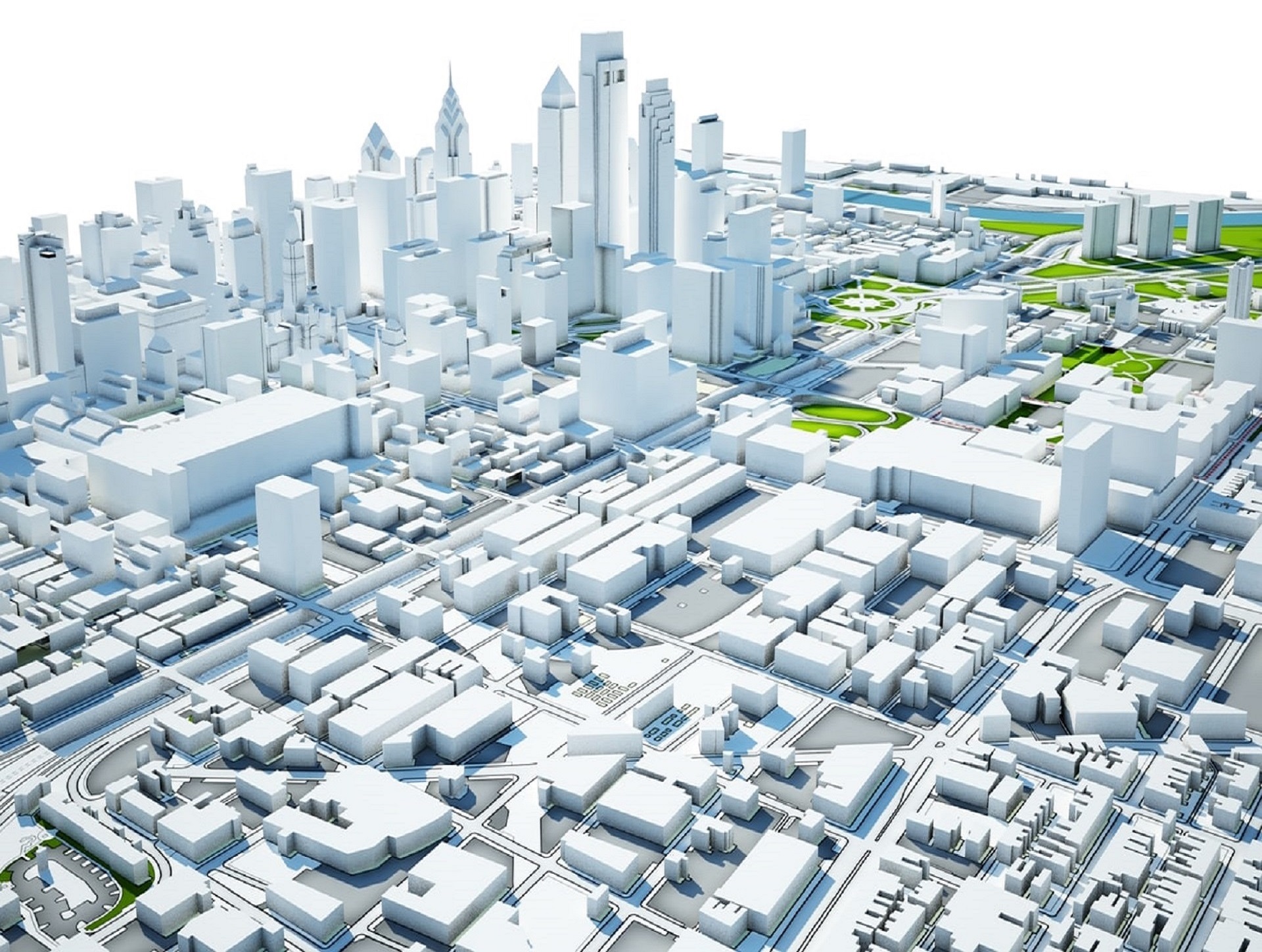
Urban Planning
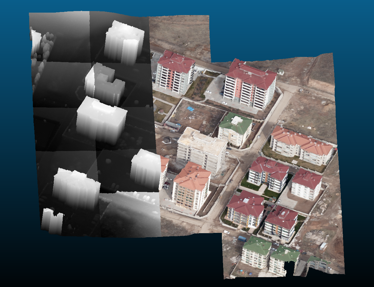
Urban planning is the conscious organization of the artificial physical environment for formal or functional purposes, and the organization of the infrastructure, equipment and construction works that will provide this. It is quite new to emerge as an independent field of activity, yet people who have been living in cities for a long time have arranged this environment according to certain principles.
News
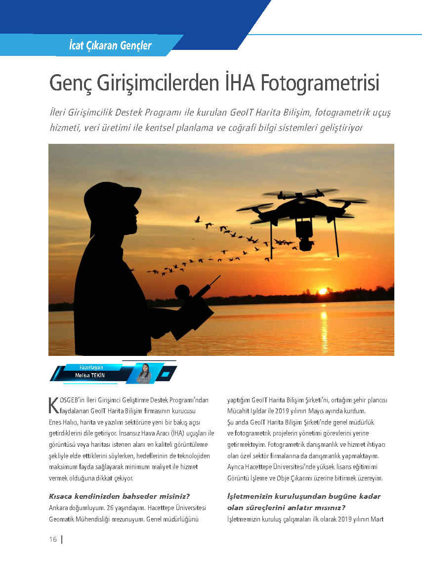
UAV Photogrammetry from Young Entrepreneurs !
We are also in KOSGEB E-Magazine January 2022. You can access the e-journal from the link below. Don’t forget to read page 16!
Continue to Research !
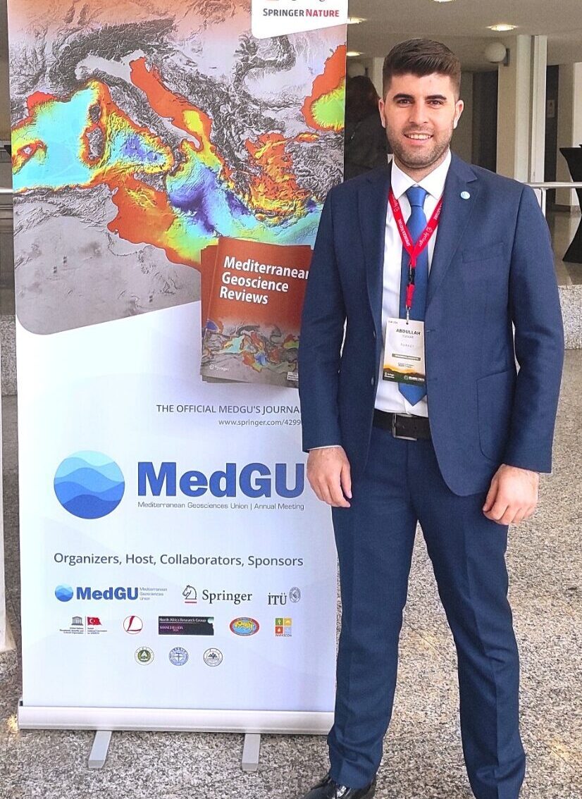
Glad to announce that our R&D Unit Manager, Abdullah Sukkar, was awarded the best paper prize at MedGU 2021 with his article titled “Examining the performance of U-net in Tree Detection Depending on Very High Resolution RGB Satellite Imagery and RGB-based Vegetation Indices.” Congratulations to our manager!
Keep Working!
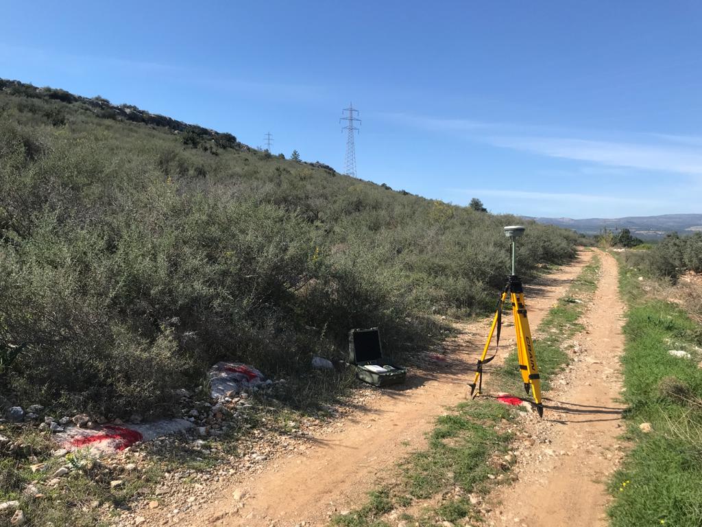
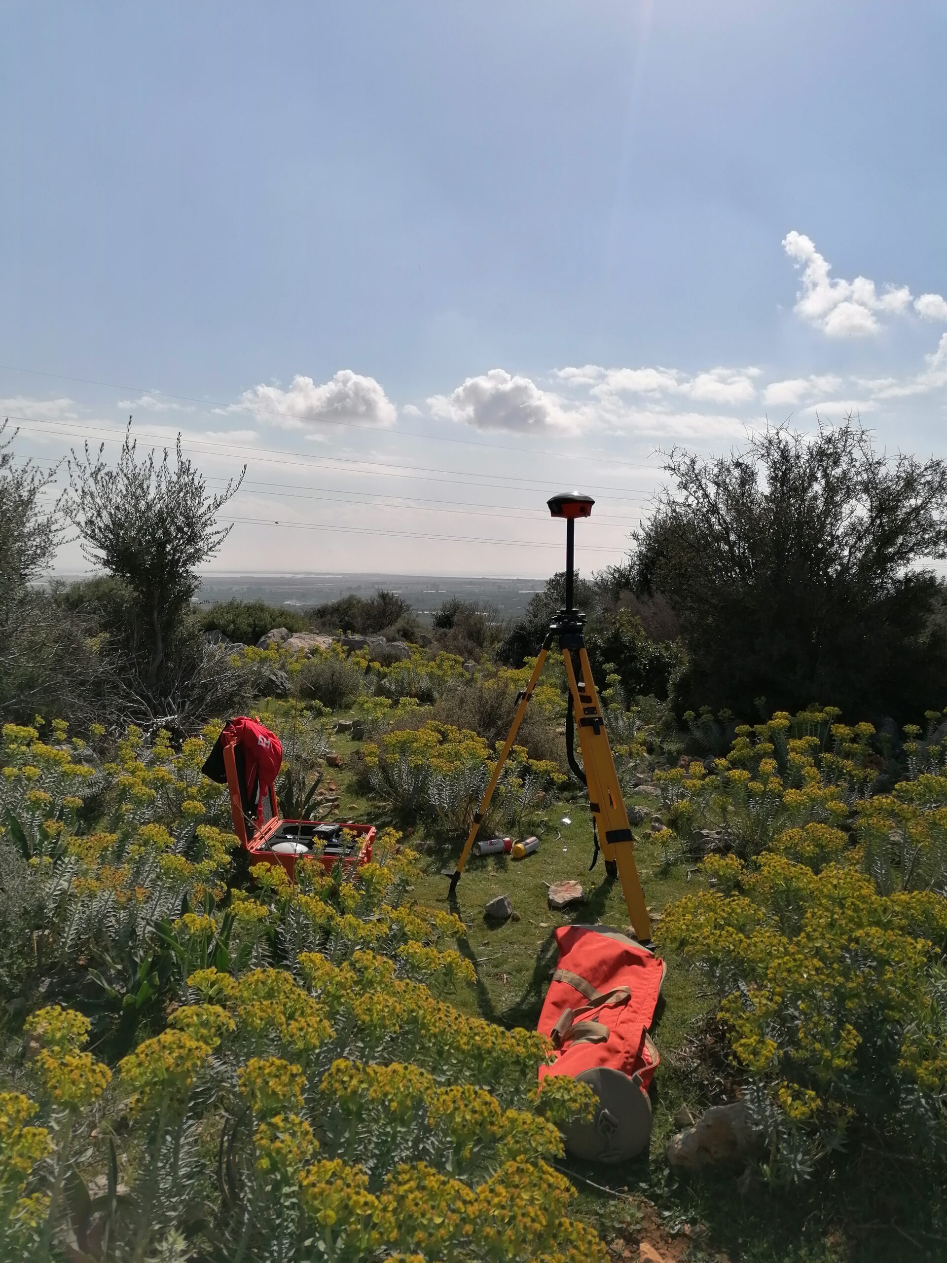
Despite the pandemic restrictions, we continue our work. We were in Mersin-Silifke at this weekend.
References
